Great Meadows Trails
Sudbury Unit Trail Map
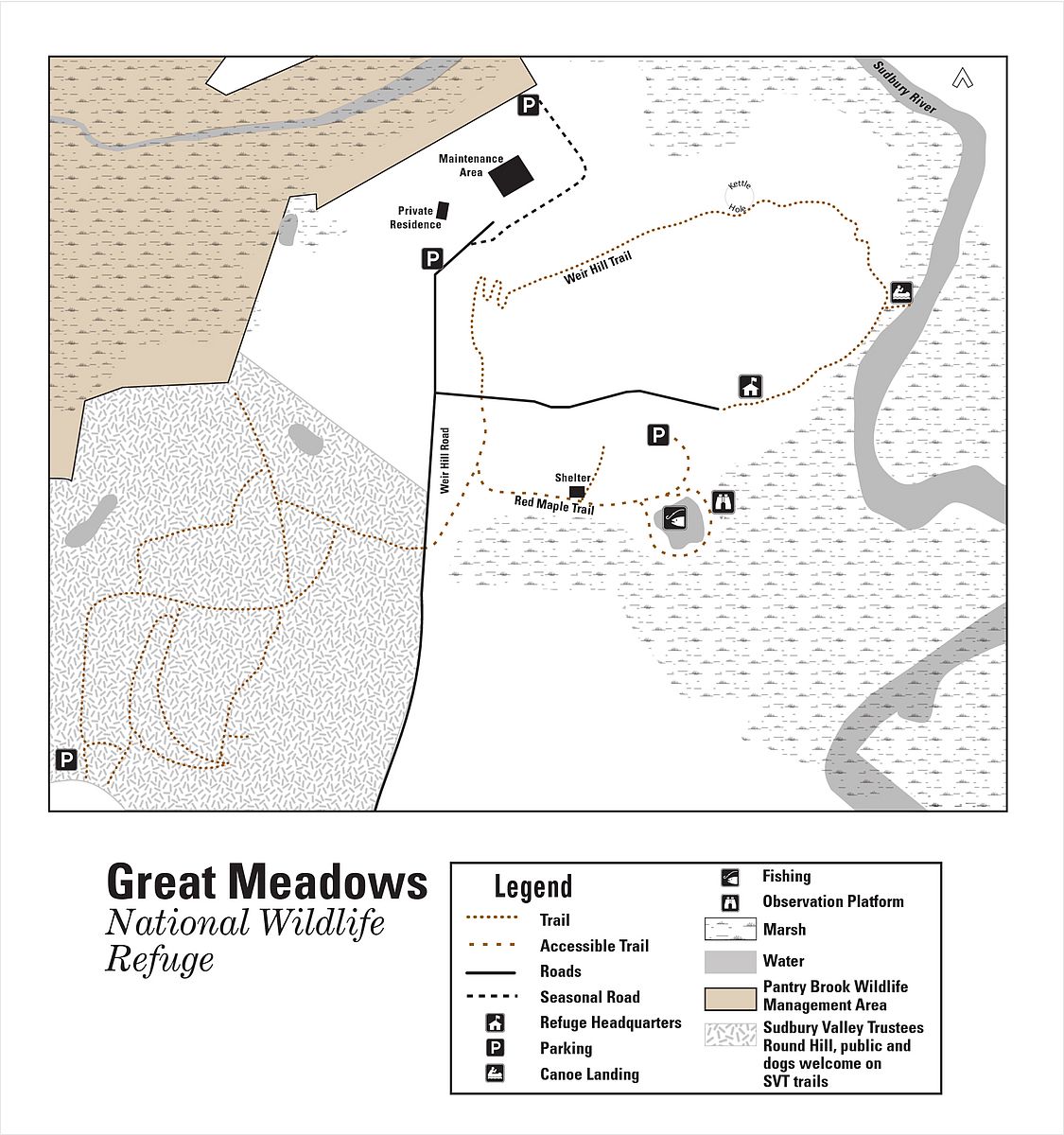
Trail name links below open the interactive map on the National Wildlife Refuge website.
- Weir Hill Trail (1.12 miles)
- Greenough Trail (0.31 miles)
A PDF version of the above map and trail info is also available in the Sudbury Unit Refuge Guide.
Concord Unit Trail Map

Trail name links below open the interactive map on the National Wildlife Refuge website.
- Dike Trail (2.03 miles)
- Black Duck Creek Trail (0.24 miles)
- Edge Trail (0.29 miles)
- Timber Trail (0.37 miles)
A PDF version of the above map and trail info is also available in the Concord Unit Refuge Guide.
Billerica Unit Trail Map
A PDF version of this map and trail info is also available in the Billerica Unit Refuge Guide.

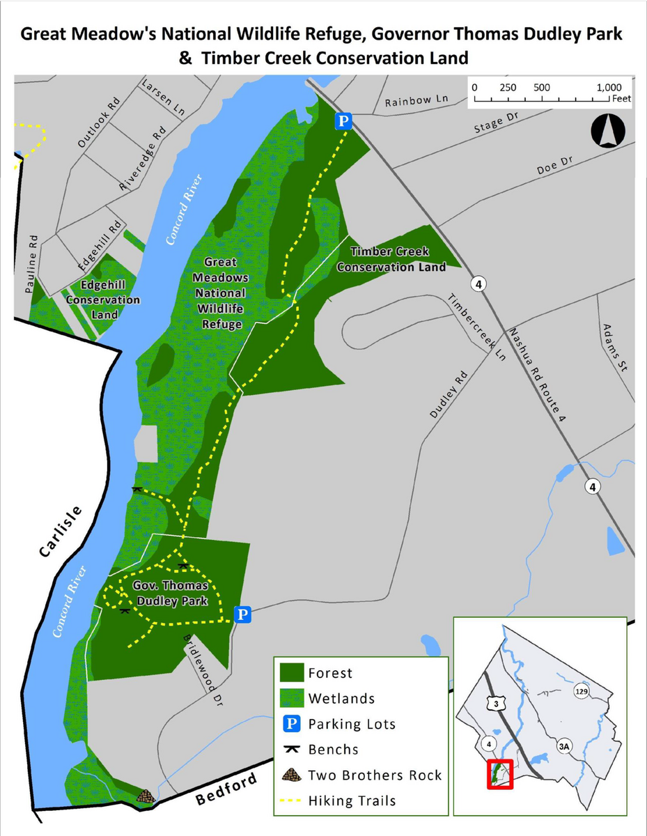
Carlisle Unit Trail Map
The Carlisle Unit is one of the three units that make up the Great Meadows National Wildlife Refuge. The unit covers 288 acres of wetlands, fields, and forests along the Concord River. The unit offers opportunities for wildlife observation, photography, fishing, and hunting. The unit also has a 1.5-mile trail that loops around the wetland and provides views of the river and the refuge.*
- PDF version of the Carlisle Unit map
- Red Tail Trail
- Parking in lots at Foss Farm to the south and Greenough Land to the north**
- Only foot traffic is allowed on the trails in the National Wildlife Refuge.**
- Horses, dogs, and bicycles are prohibited**
*From Birding Hotspots website: https://birdinghotspots.org/hotspot/L616005
**From https://www.carlislema.gov/562/Trail-Maps?